
Geological Mapping
Documenting rock types, structures, and stratigraphy across your site.
Overview
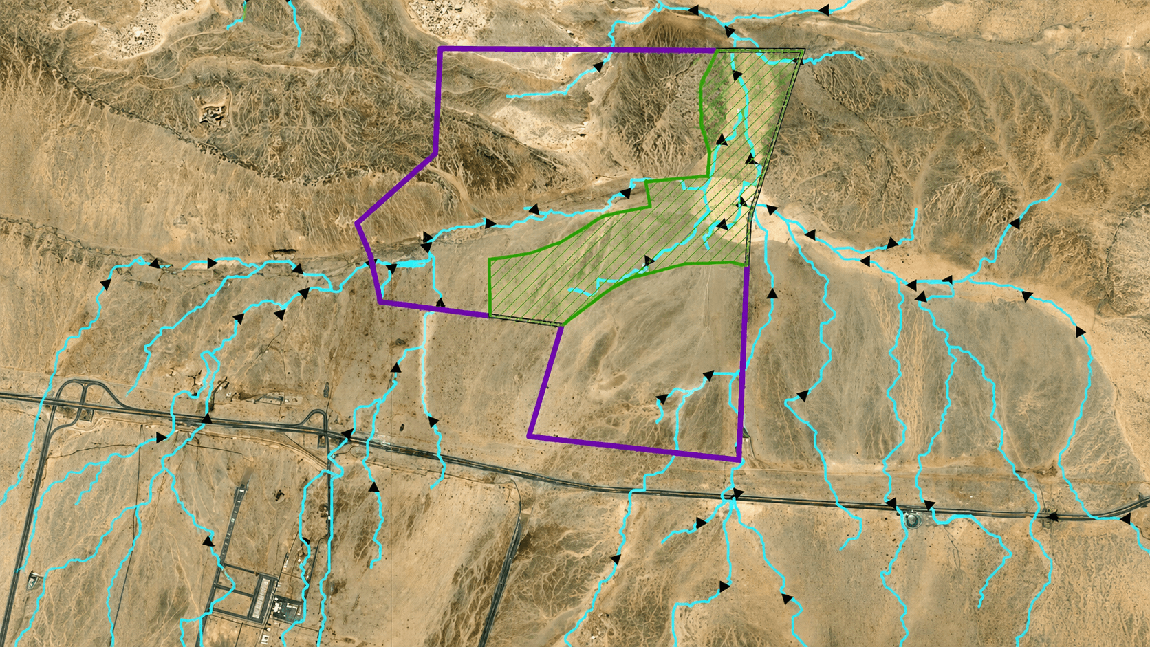
Geological mapping is the process of identifying, studying, and documenting the distribution, nature, and relationships of rock types, soil units, and geological structures across an area. It involves recording features such as stratigraphy, faults, folds, and mineral composition to accurately represent the subsurface and surface geology of a site.
Key Capabilities
- Slope Stability Assessment
- Rockfall Studies
- Tunnel & Excavation Rockface Mapping
Methods & Techniques

01
Slope Stability Assessment
Advanced geotechnical analysis using digital terrain models and geospatial data to evaluate slope angles, material strength, and failure risk. This method supports landslide hazard assessment, infrastructure safety, and slope design optimization.

02
Rockfall Studies
Geological assessment focusing on rock slope behavior and potential detachment zones using field mapping, drone surveys, and simulation models. Rockfall studies help in hazard zoning, risk mitigation, and protective structure design.

03
Tunnel & Excavation Rockface Mapping
Detailed geological documentation of rock structures, discontinuities, and lithology along tunnel walls or excavation faces using digital imaging and 3D mapping tools. This method ensures accurate rock mass classification, stability evaluation, and construction planning.
Ready To Discuss Your Project?
Our team is ready to support your project from initial consultation to final report.
Other Services