
Hydrogeology & Hydrology Surveys
Groundwater resources, surface water flow, and their interactions for water management and engineering.
Overview
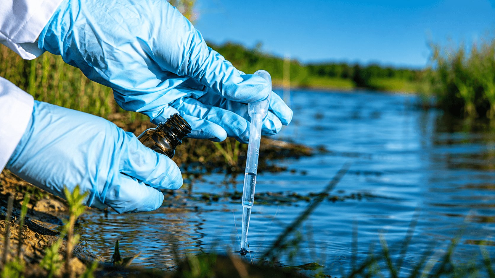
FEG conducts hydrogeology and hydrology surveys to assess groundwater resources, surface water flow, and their interactions, supporting water management, environmental studies, and engineering projects.
Key Capabilities
- Rainfall Analysis
- Flood Assessment
- Ground Water / Aquifer Investigations
Methods & Techniques

01
Rainfall Analysis
Systematic evaluation of rainfall data and patterns to determine intensity, frequency, and distribution over time. It supports flood forecasting, water resource management, and climate impact studies.

02
Flood Assessment
Comprehensive study using hydrological modeling and topographic data to analyze flood risks, inundation areas, and flow dynamics. It aids in floodplain management, infrastructure planning, and disaster mitigation.

03
Ground Water / Aquifer Investigations
Hydrogeological surveys conducted to evaluate aquifer properties, groundwater levels, and recharge potential using geophysical methods particularly TDEM, VES and borehole data. These methods provide accurate groundwater mapping by detecting aquifer depth, salinity, and subsurface layer variations through electromagnetic and resistivity measurements and are essential for water resource development, contamination studies, and sustainable management.
Ready To Discuss Your Project?
Our team is ready to support your project from initial consultation to final report.
Other Services