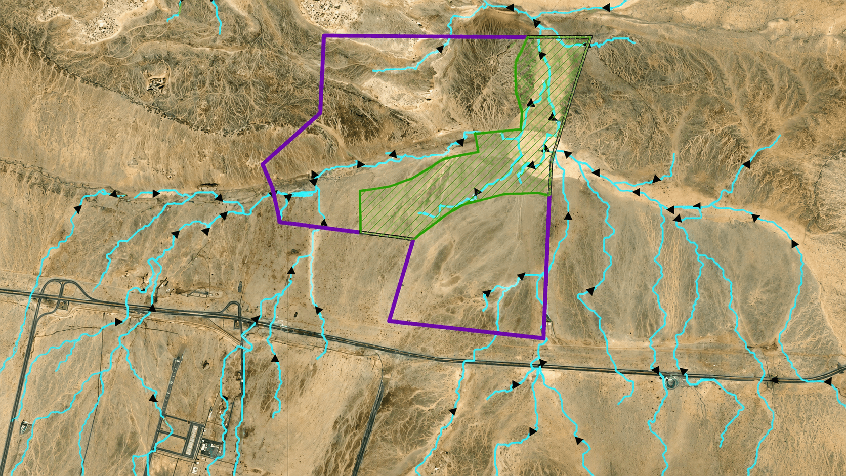

Topographical Surveys
Precise terrain mapping for engineering, construction, and geological studies.
Overview
A topographic survey measures and maps natural and man-made features, including ground elevations and contours, to represent the existing terrain accurately.
Key Capabilities
- Conventional Topographic Survey
- Drone-Based (UAV) Survey / Mobile Mapping
- Digital Elevation Modelling (DEM)
- Remote Sensing
- LIDAR Scanning
Methods & Techniques

01
Conventional Topographic Survey
Ground-based surveying using total stations and GPS to measure elevations and land features with high precision. These surveys produce detailed terrain maps and contours, supporting engineering, construction, and geological studies.

02
Drone-Based (UAV) Topographic Survey / Mobile Mapping
Advanced aerial surveying using UAVs with high-resolution cameras and LiDAR sensors to capture precise terrain and surface data. These surveys create accurate DEMs and 3D maps, supporting site analysis, volume estimation, and topographic monitoring over large areas.

03
Digital Elevation Modelling (DEM)
Technique for creating 3D surface models from elevation data. DEMs provide accurate terrain, slope, and contour details for mapping, drainage, and engineering design.

04
Remote Sensing
Method using satellite or aerial sensors to capture Earth’s surface data. Supports mapping, geological interpretation, and environmental monitoring efficiently.

05
LIDAR Scanning
High-resolution laser scanning technique measuring precise ground distances. LiDAR creates detailed 3D terrain models for mapping, vegetation analysis, and infrastructure planning.
Ready To Discuss Your Project?
Our team is ready to support your project from initial consultation to final report.
Other Services